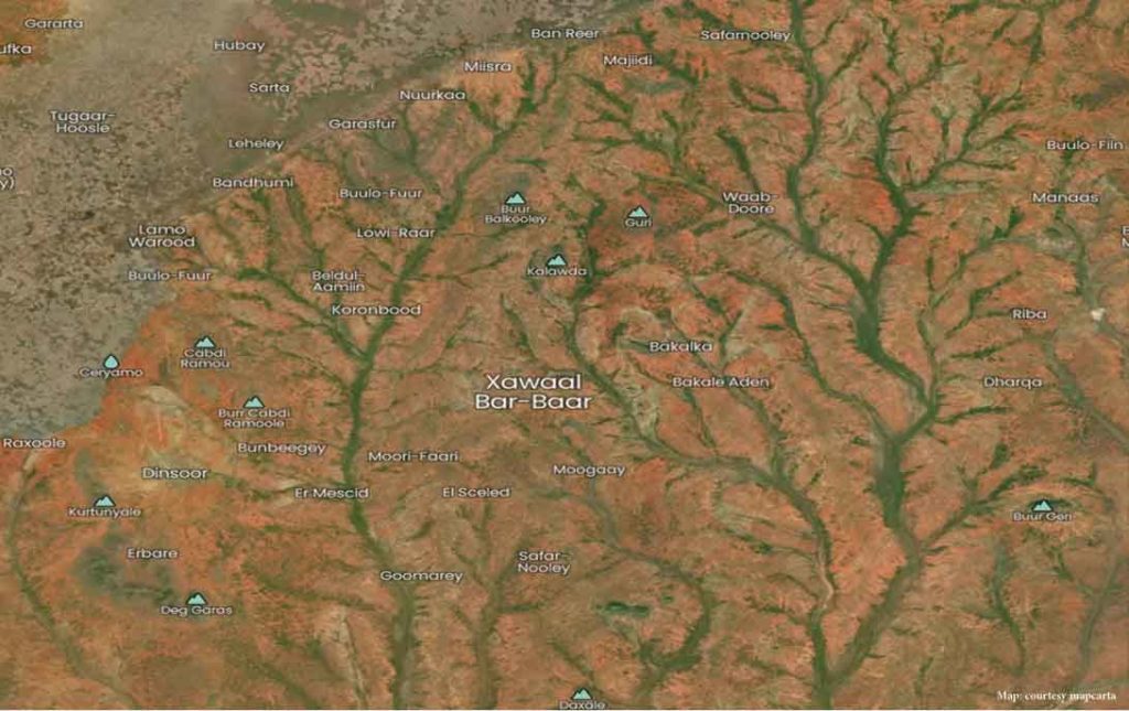
The water resource mapping and harvesting program is a process of aerial mapping of Somali dry land regions through satellite imaging software to locate watershed areas for water harvesting. In this process, we identified some of the most populated towns and cities with ample natural water supply resources yet with high annual water scarcity cases.